.png)

Geotara Orchestrator
Turn geospatial, survey, mapping signals signals into executable decisions, then fulfill them through procurement-ready products
Geotara unifies maps, satellite/ UAV imagery, geotech signals, and multi-agency datasets into a single operating picture for analytics, field execution, and audit-ready reporting
Core Challenges

Data Silos & Inconsistency
Basemaps, parcel boundaries, zoning/ RDTR, geotech context, and project data don’t align in one trusted view

Slow, Risky Planning
Delayed verification and uneven data quality drive rework, redesign, and missed timelines

Execution not Connected to Procurement
Identified survey/ instrument needs don’t translate into purchase-ready packages fast enough
What Geotara Does
-
Observe
Capture signals from GIS layers, satellite/UAV imagery, geotech instrumentation, and field reports
-
Decide
Analytics + AI translate data into recommendations: where / when / what method / what priority
-
Act
Execute workflows (survey, mapping, monitoring), then bridge needs into

Topology (End-to-End)
Signals (Maps/ GIS • Satellite/ UAV • Geotech sensors • ATR/ BPN + cross-agency data)

Orchestration Layer (Dashboard • Rules/ Alerts • Data quality • AI insights)


Execution (survey & mapping • field verification • change monitoring)
Procurement Bridge (sub-product category → product detail → eCatalog link)


Reporting (KPIs • audit trail • outcome tracking)
Procurement-Ready
Geotara Product Hub
-
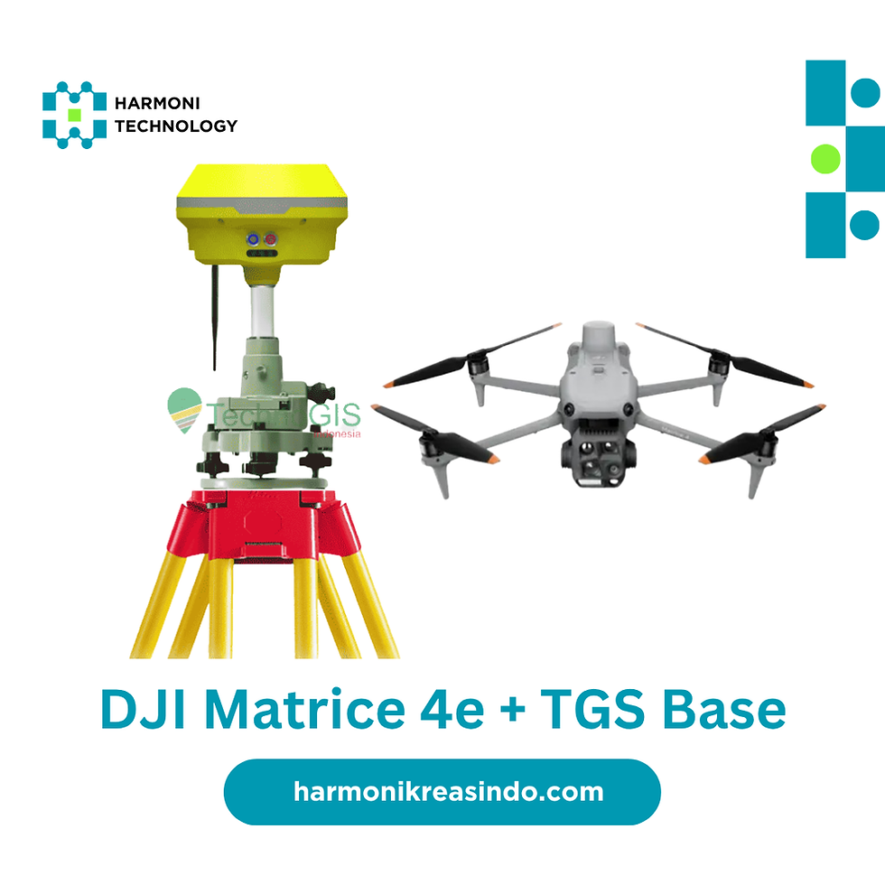
Survey & Geodesy (GNSS RTK, total station, accessories)
-
UAV Mapping & Photogrammetry (drones, payloads, mapping services)
-
Remote Sensing & Basemap (imagery, orthomosaic, DEM/DSM)
-
GIS & Data Platform (dashboards, portals, integration)
Geotech & Risk Monitoring (instrumentation, measurement, testing kits)